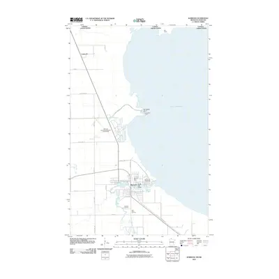
2010 Map of Warroad
USGS Topo · Published 2010About this map
The Canada United States border cuts across the northern reaches of this coastal landscape, where the Lake of the Woods meets the mouth of the Warroad River. The city of Warroad serves as the primary hub, showing a developed street grid and community infrastructure including the Warroad Post Office and the Warroad City Campground. Just north of the main settlement, the Warroad International-Swede Carlson Field indicates the importance of aviation in this international border region.
Find a feature on this map
31 named features on this map. Tap any name to fly to it.
Don’t see what you’re looking for? This feature index may not catch every label — zoom into the map to look around manually.
Map Details
Editions of this 2010 Warroad Map
This is the sole edition of this map. No revisions or reprints were ever made.
Other maps of this area

1918 · Buffalo Bay
USGS Topo · 1:62,500

1918 · Roosevelt
USGS Topo · 1:62,500

1918 · Warroad
USGS Topo · 1:62,500

1943 · Roosevelt
USGS Topo · 1:62,500

1943 · Warroad
USGS Topo · 1:62,500

1954 · Roseau
USGS Topo · 1:250,000

1957 · Roseau
USGS Topo · 1:250,000

1958 · Roseau
USGS Topo · 1:250,000

1963 · Kenora
USGS Topo · 1:250,000

1967 · Roosevelt NW
USGS Topo · 1:24,000