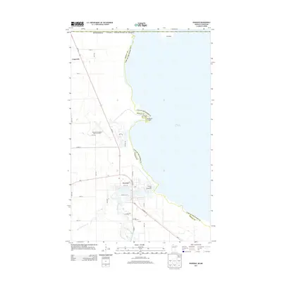
2013 Map of Warroad
USGS Topo · Published 2013About this map
The international border between Minnesota and Canada runs across the northern reach of this quadrangle, defining the edge of Lake of the Woods. The settlement of Warroad serves as a focal point where the Warroad River meets the bay, showing a developed street grid and infrastructure like the Warroad International Memorial Airport. To the south, the river splits into the E Br and W Br, winding through a landscape shaped by agricultural drainage systems such as County Ditch Number Six. Genealogists and local historians can locate family burial sites at Riverside Cem and Saint Marys Cem, while the lakefront features recreation spots like the Springsteel Resort and Springsteel Island. The northern settlement of Longworth sits along MN-313, providing a look at the rural character of Roseau County at this time.
Find a feature on this map
37 named features on this map. Tap any name to fly to it.
Don’t see what you’re looking for? This feature index may not catch every label — zoom into the map to look around manually.
Map Details
Editions of this 2013 Warroad Map
This is the sole edition of this map. No revisions or reprints were ever made.
Other maps of this area

1918 · Buffalo Bay
USGS Topo · 1:62,500

1918 · Roosevelt
USGS Topo · 1:62,500

1918 · Warroad
USGS Topo · 1:62,500

1943 · Roosevelt
USGS Topo · 1:62,500

1943 · Warroad
USGS Topo · 1:62,500

1954 · Roseau
USGS Topo · 1:250,000

1957 · Roseau
USGS Topo · 1:250,000

1958 · Roseau
USGS Topo · 1:250,000

1963 · Kenora
USGS Topo · 1:250,000

1967 · Roosevelt NW
USGS Topo · 1:24,000