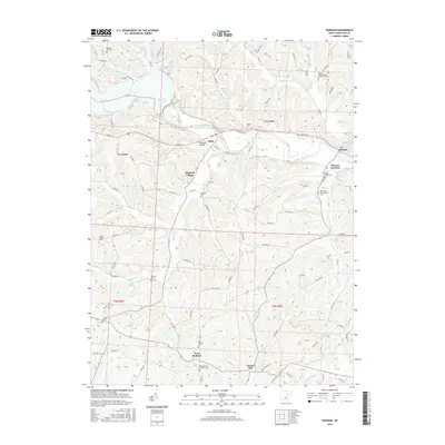
2016 Map of Warsaw
USGS Topo · Published 2016About this map
The Walhonding River carves a deep valley through this portion of Coshocton County, anchoring the settlements of Nellie and Warsaw. This landscape is defined by the significant footprint of the Mohawk Reservoir and its associated flood control infrastructure, which altered the local drainage patterns of Honey Run and Mohawk Cr. The map reveals a dense network of township roads and county routes that connect isolated rural communities and numerous family and denominational burial grounds.
Find a feature on this map
85 named features on this map. Tap any name to fly to it.
Don’t see what you’re looking for? This feature index may not catch every label — zoom into the map to look around manually.
Map Details
Editions of this 2016 Warsaw Map
This is the sole edition of this map. No revisions or reprints were ever made.
Other maps of this area

1908 · Conesville
USGS Topo · 1:62,500

1910 · Frazeysburg
USGS Topo · 1:62,500

1910 · Conesville
USGS Topo · 1:62,500

1913 · Brinkhaven
USGS Topo · 1:62,500

1913 · Coshocton
USGS Topo · 1:62,500

1915 · Brinkhaven
USGS Topo · 1:62,500

1915 · Coshocton
USGS Topo · 1:62,500

1943 · Coshocton
USGS Topo · 1:62,500

1950 · Marion
USGS Topo · 1:250,000

1951 · Canton
USGS Topo · 1:250,000