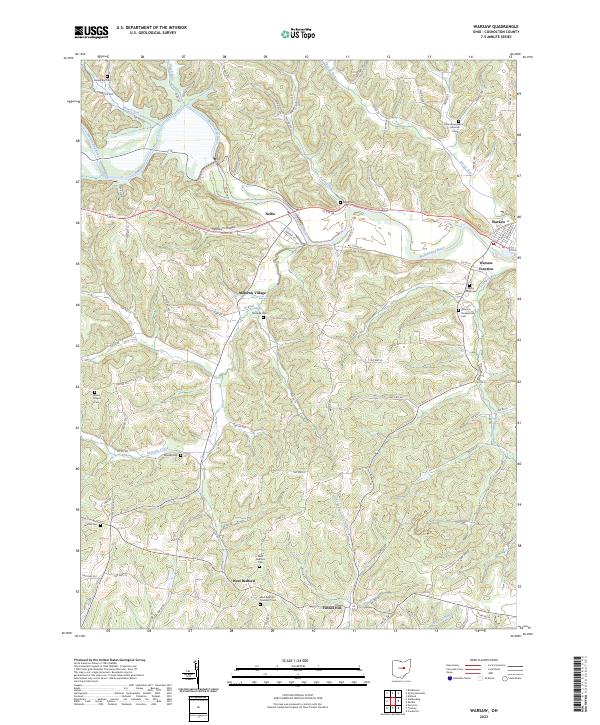
2023 Map of Warsaw
USGS Topo · Published 2023About this map
Mohawk Village and the valley of the Walhonding River dominate this modern topographical record of western Coshocton County. The landscape reflects a deep history of rural settlement, where small hamlets like Nellie and West Bedford serve as anchors for a network of township roads and family burial grounds. The map is particularly notable for its density of cemeteries, including the Zion Evangelical Lutheran Cem and Jefferson Presbyterian Cem, which provide essential clues for genealogical research in this part of Ohio.
Find a feature on this map
100 named features on this map. Tap any name to fly to it.
Don’t see what you’re looking for? This feature index may not catch every label — zoom into the map to look around manually.
Map Details
Editions of this 2023 Warsaw Map
This is the sole edition of this map. No revisions or reprints were ever made.
Other maps of this area

1908 · Conesville
USGS Topo · 1:62,500

1910 · Frazeysburg
USGS Topo · 1:62,500

1910 · Conesville
USGS Topo · 1:62,500

1913 · Brinkhaven
USGS Topo · 1:62,500

1913 · Coshocton
USGS Topo · 1:62,500

1915 · Brinkhaven
USGS Topo · 1:62,500

1915 · Coshocton
USGS Topo · 1:62,500

1943 · Coshocton
USGS Topo · 1:62,500

1950 · Marion
USGS Topo · 1:250,000

1951 · Canton
USGS Topo · 1:250,000