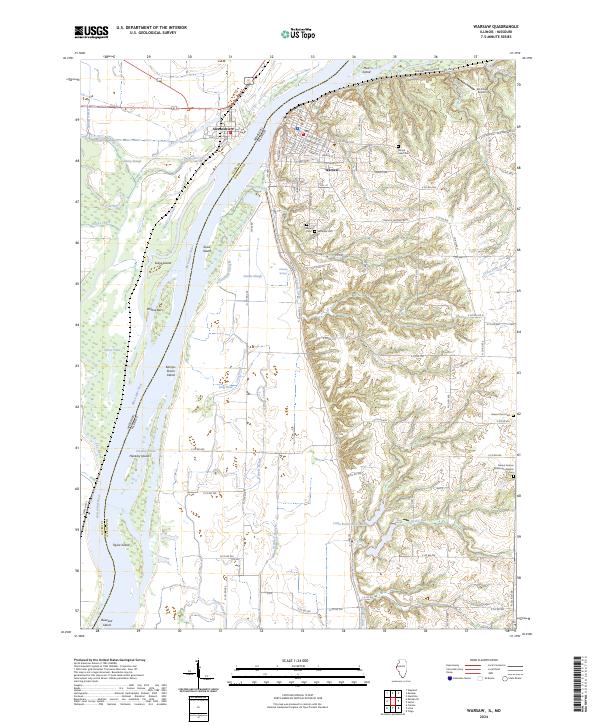
2024 Map of Warsaw
USGS Topo · Published 2024About this map
Warsaw and Alexandria face one another across the Mississippi River at this major bend where the Fox River enters from the west. The landscape is defined by an intricate network of river islands and backwaters, including Kamps-Stiens Island, Hackley Island, and the passage at Hackley Chute. To the west, the Great River National Wildlife Refuge preserves the floodplain wetlands of Hemp Slough and Pickle House Slough.
Find a feature on this map
98 named features on this map. Tap any name to fly to it.
Don’t see what you’re looking for? This feature index may not catch every label — zoom into the map to look around manually.
Map Details
Editions of this 2024 Warsaw Map
This is the sole edition of this map. No revisions or reprints were ever made.
Other maps of this area

1903 · Kahoka
USGS Topo · 1:125,000

1936 · Keokuk
USGS Topo · 1:62,500

1946 · Mendon
USGS Topo · 1:62,500

1948 · Mendon
USGS Topo · 1:62,500

1949 · Wayland
USGS Topo · 1:24,000

1949 · Kahoka SE
USGS Topo · 1:24,000

1950 · Kahoka SE
USGS Topo · 1:24,000

1950 · Wayland
USGS Topo · 1:24,000

1950 · Keokuk
USGS Topo · 1:62,500

1950 · Canton
USGS Topo · 1:24,000