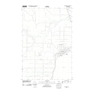
2010 Map of Washburn
USGS Topo · Published 2010About this map
The port city of Washburn anchors this survey of the Chequamegon Bay shoreline, where the developed streets of the town center meet the vast waters of Lake Superior. In the northern reaches, the small settlement of Sioux sits near the mouth of the Sioux River, a drainage system that dominates the interior landscape alongside Fourmile Creek and Thompson Creek. The map records a mix of maritime infrastructure and community sites, from the Washburn Marina and Wikdal Memorial Boat Landing to the neighboring Woodlawn Cemetery and Calvary Cemetery. Moving inland, the terrain is defined by a dense network of local roads such as Onodssagon Rd and Potters Farm Rd, tracing the transition from the lakefront's recreational hubs like Bayview Campground to the rural properties and watersheds of Bayfield County.
Find a feature on this map
49 named features on this map. Tap any name to fly to it.
Don’t see what you’re looking for? This feature index may not catch every label — zoom into the map to look around manually.
Map Details
Editions of this 2010 Washburn Map
This is the sole edition of this map. No revisions or reprints were ever made.
Other maps of this area

1941 · Bayfield
USGS Topo · 1:48,000

1942 · Ashland
USGS Topo · 1:48,000

1944 · Moquah
USGS Topo · 1:48,000

1944 · Cornucopia
USGS Topo · 1:48,000

1946 · Cornucopia
USGS Topo · 1:48,000

1946 · Bayfield
USGS Topo · 1:48,000

1947 · Moquah
USGS Topo · 1:48,000

1947 · Ashland
USGS Topo · 1:48,000

1953 · Ashland
USGS Topo · 1:250,000

1958 · Ashland
USGS Topo · 1:250,000