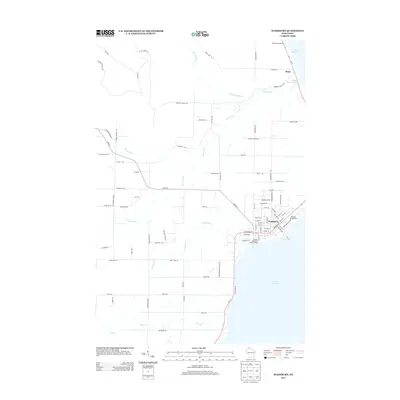
2013 Map of Washburn
USGS Topo · Published 2013About this map
Washburn sits along the southwestern coast of Lake Superior, serving as a central hub in this 2013 survey. The town's grid is clearly defined by streets like W Bayfield St and W Pine St, leading down to the Wikdal Memorial Boat Landing and Memorial Campground. North along the shoreline, the small settlement of Sioux rests near the Sioux River Slough, where the Sioux River meets the lake. The interior landscape is defined by the drainage systems of Thompson Cr, Bono Cr, and Little Sioux River, which carve through the land before reaching the big water. This modern topographic view preserves the late-period road network, including family-named routes like Kjarvik Rd and Maki Rd, reflecting the enduring rural character of Bayfield County.
Find a feature on this map
88 named features on this map. Tap any name to fly to it.
Don’t see what you’re looking for? This feature index may not catch every label — zoom into the map to look around manually.
Map Details
Editions of this 2013 Washburn Map
This is the sole edition of this map. No revisions or reprints were ever made.
Other maps of this area

1941 · Bayfield
USGS Topo · 1:48,000

1942 · Ashland
USGS Topo · 1:48,000

1944 · Moquah
USGS Topo · 1:48,000

1944 · Cornucopia
USGS Topo · 1:48,000

1946 · Cornucopia
USGS Topo · 1:48,000

1946 · Bayfield
USGS Topo · 1:48,000

1947 · Moquah
USGS Topo · 1:48,000

1947 · Ashland
USGS Topo · 1:48,000

1953 · Ashland
USGS Topo · 1:250,000

1958 · Ashland
USGS Topo · 1:250,000