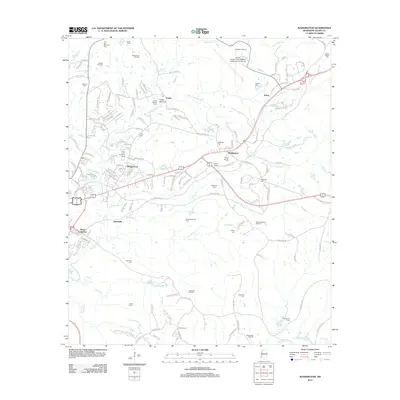
2012 Map of Washington
USGS Topo · Published 2012About this map
Washington and Morgantown anchor this landscape just northeast of Natchez, where the historical topography is defined by the winding course of Saint Catherine Cr and its numerous tributaries like Melvin Bayou and Perkins Cr. The area is notably dense with small family and community burial grounds, including Skinners Cem, Adams Cem, and McCuen Cem, which offer significant value for genealogical research in Adams County.
Find a feature on this map
153 named features on this map. Tap any name to fly to it.
Don’t see what you’re looking for? This feature index may not catch every label — zoom into the map to look around manually.
Map Details
Editions of this 2012 Washington Map
This is the sole edition of this map. No revisions or reprints were ever made.
Other maps of this area

1909 · Vidalia
USGS Topo · 1:24,000

1921 · Natchez
USGS Topo · 1:48,000

1922 · Natchez
USGS Topo · 1:62,500

1939 · Natchez
USGS Topo · 1:62,500

1939 · Kingston
USGS Topo · 1:62,500

1953 · Natchez
USGS Topo · 1:250,000

1956 · Natchez
USGS Topo · 1:250,000

1958 · Kingston
USGS Topo · 1:62,500

1959 · Natchez
USGS Topo · 1:250,000

1961 · Crosby
USGS Topo · 1:62,500