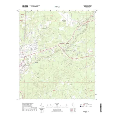
2018 Map of Washington
USGS Topo · Published 2018About this map
The Foster Mounds stand as prominent landmarks in this landscape northeast of Natchez, marking a historic intersection of indigenous heritage and later settlement. This modern topographic survey reveals the rural and suburban character of Adams County, where the Natchez Trace Pkwy arcs across the terrain, linking communities like Washington, Selma, and Morgantown. The map is particularly notable for its density of burial grounds, including the Foster Mound Cem, Saint Marks Cem, and Rawlings Cem, which provide significant data points for genealogical research in the region. The landscape is dissected by numerous waterways such as Saint Catherine Cr and Melvin Bayou, while infrastructure like the Hardy-Anders Field Natchez-Adams County Airport indicates the area's role as a regional transit hub. Further south, smaller locales such as Johnsville and Fenwick sit among winding creeks like Second Cr.
Find a feature on this map
142 named features on this map. Tap any name to fly to it.
Don’t see what you’re looking for? This feature index may not catch every label — zoom into the map to look around manually.
Map Details
Editions of this 2018 Washington Map
This is the sole edition of this map. No revisions or reprints were ever made.
Other maps of this area

1909 · Vidalia
USGS Topo · 1:24,000

1921 · Natchez
USGS Topo · 1:48,000

1922 · Natchez
USGS Topo · 1:62,500

1939 · Natchez
USGS Topo · 1:62,500

1939 · Kingston
USGS Topo · 1:62,500

1953 · Natchez
USGS Topo · 1:250,000

1956 · Natchez
USGS Topo · 1:250,000

1958 · Kingston
USGS Topo · 1:62,500

1959 · Natchez
USGS Topo · 1:250,000

1961 · Crosby
USGS Topo · 1:62,500