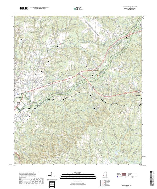
2024 Map of Washington
USGS Topo · Published 2024About this map
Saint Catherine Creek winds through the hills of Adams County, anchoring a landscape where older family-named settlements like Foster and Selma meet the modern outskirts of Natchez. The area is characterized by an exceptionally dense concentration of burial grounds, providing significant data for genealogical research. Named sites range from the Pine Hill Memorial Park to smaller, family-associated plots such as the Foster Mound Cem, Ferguson-Foster Cem, and Winston Cem. This 2024 survey documents the complex interface between rural land divisions and expanding residential developments like Morgantown. Along the southern reaches, the terrain transitions toward Second Creek, where legacy landmarks like the Dunbarton Cem and Roseland Cem remain as physical markers of the region's long-established communities and plantations.
Find a feature on this map
145 named features on this map. Tap any name to fly to it.
Don’t see what you’re looking for? This feature index may not catch every label — zoom into the map to look around manually.
Map Details
Editions of this 2024 Washington Map
This is the sole edition of this map. No revisions or reprints were ever made.
Other maps of this area

1909 · Vidalia
USGS Topo · 1:24,000

1921 · Natchez
USGS Topo · 1:48,000

1922 · Natchez
USGS Topo · 1:62,500

1939 · Natchez
USGS Topo · 1:62,500

1939 · Kingston
USGS Topo · 1:62,500

1953 · Natchez
USGS Topo · 1:250,000

1956 · Natchez
USGS Topo · 1:250,000

1958 · Kingston
USGS Topo · 1:62,500

1959 · Natchez
USGS Topo · 1:250,000

1961 · Crosby
USGS Topo · 1:62,500