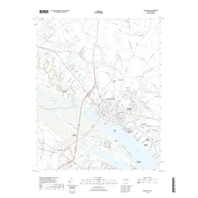
2019 Map of Washington
USGS Topo · Published 2019About this map
Washington serves as the focal point of this coastal plain landscape, where the Tar River widens into the expansive Pamlico River. The town's grid is dense with history, featuring landmarks like Oakdale Cem and Cedar Grove Cem, while the surrounding suburbs of Washington Heights and Washington Park show the modern expansion of this riverfront community. Across the water, the settlement of Chocowinity and the rail-oriented Porter Junction highlight the importance of transportation links connecting the north and south banks.
Find a feature on this map
67 named features on this map. Tap any name to fly to it.
Don’t see what you’re looking for? This feature index may not catch every label — zoom into the map to look around manually.
Map Details
Editions of this 2019 Washington Map
This is the sole edition of this map. No revisions or reprints were ever made.
Other maps of this area

1902 · Vanceboro
USGS Topo · 1:62,500

1903 · Chocowinity
USGS Topo · 1:62,500

1904 · Vanceboro
USGS Topo · 1:62,500

1905 · Chocowinity
USGS Topo · 1:62,500

1905 · Vanceboro
USGS Topo · 1:62,500

1943 · Plymouth
USGS Topo · 1:125,000

1951 · Bunyan
USGS Topo · 1:24,000

1951 · Hackney
USGS Topo · 1:24,000

1951 · Washington
USGS Topo · 1:24,000

1953 · Blounts Bay
USGS Topo · 1:24,000