2022 Map of Washington
USGS Topo · Published 2022About this map
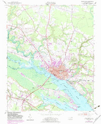
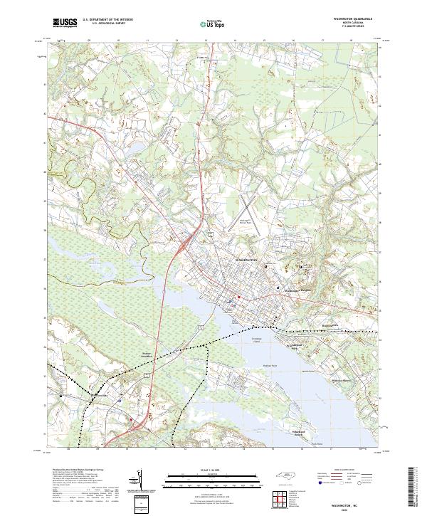
Washington serves as the focal point of this coastal North Carolina landscape, situated where the Tar River transitions into the expansive Pamlico River. The town's historic core is anchored by the Beaufort County Courthouse and a curious landmark known as The Castle, while its aviation ties are represented by Washington-Warren Field to the north. The area's settlement pattern follows the intricate shoreline of Chocowinity Bay and Runyon Cr, showing a mix of established neighborhoods like Washington Heights and waterfront communities such as Washington Park and Mimosa Shores.
Find a feature on this map
205 named features on this map. Tap any name to fly to it.
Don’t see what you’re looking for? This feature index may not catch every label — zoom into the map to look around manually.
Map Details
Editions of this 2022 Washington Map
This is the sole edition of this map. No revisions or reprints were ever made.