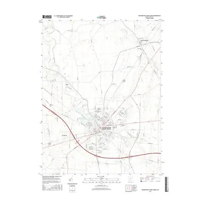
2016 Map of Washington Court House
USGS Topo · Published 2016About this map
Washington Court House serves as the central hub of this Fayette County landscape, where modern suburban expansion meets established agricultural traditions. The city's radial street grid, including major arteries like Columbus Ave and Clinton Ave, branches out into a network of residential developments and historic sites. Several burial grounds, such as Saint Colmans Cem and the Old Washington Cem, provide significant touchpoints for genealogical research and local history within the city limits.
Find a feature on this map
126 named features on this map. Tap any name to fly to it.
Don’t see what you’re looking for? This feature index may not catch every label — zoom into the map to look around manually.
Map Details
Editions of this 2016 Washington Court House Map
This is the sole edition of this map. No revisions or reprints were ever made.
Other maps of this area

1906 · Mt Sterling
USGS Topo · 1:62,500

1916 · Octa
USGS Topo · 1:62,500

1917 · Greenfield
USGS Topo · 1:62,500

1917 · Sabina
USGS Topo · 1:62,500

1943 · Sabina
USGS Topo · 1:62,500

1944 · Greenfield
USGS Topo · 1:62,500

1944 · Octa
USGS Topo · 1:62,500

1947 · Columbus
USGS Topo · 1:250,000
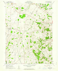
1960 · Good Hope
USGS Topo · 1:24,000
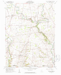
1960 · New Martinsburg
USGS Topo · 1:24,000