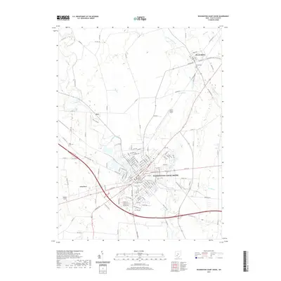
2019 Map of Washington Court House
USGS Topo · Published 2019About this map
Washington Court House serves as the focal point of this Fayette County survey, where the historic Fayette County Courthouse anchors the central grid. The landscape is defined by the convergence of several waterways, including Paint Creek and the East Fork Paint Creek, which weave around the primary settlements. To the north, the village of Bloomingburg is clearly delineated alongside its namesake Bloomingburg Cem, while the smaller communities of Eber and Jonesboro appear as important local junctions.
Find a feature on this map
135 named features on this map. Tap any name to fly to it.
Don’t see what you’re looking for? This feature index may not catch every label — zoom into the map to look around manually.
Map Details
Editions of this 2019 Washington Court House Map
This is the sole edition of this map. No revisions or reprints were ever made.
Other maps of this area

1906 · Mt Sterling
USGS Topo · 1:62,500

1916 · Octa
USGS Topo · 1:62,500

1917 · Greenfield
USGS Topo · 1:62,500

1917 · Sabina
USGS Topo · 1:62,500

1943 · Sabina
USGS Topo · 1:62,500

1944 · Greenfield
USGS Topo · 1:62,500

1944 · Octa
USGS Topo · 1:62,500

1947 · Columbus
USGS Topo · 1:250,000
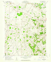
1960 · Good Hope
USGS Topo · 1:24,000
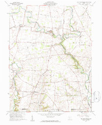
1960 · New Martinsburg
USGS Topo · 1:24,000