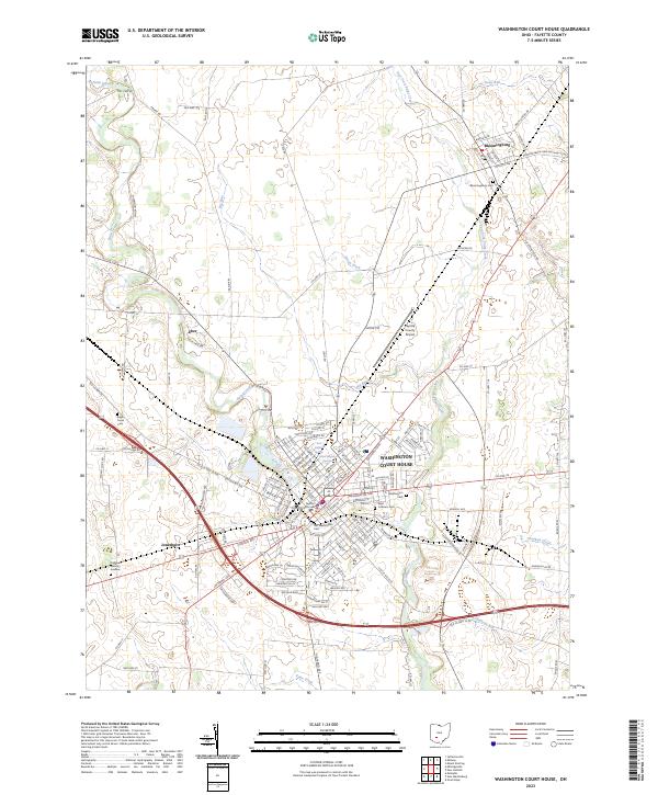
2023 Map of Washington Court House
USGS Topo · Published 2023About this map
Washington Court House serves as the focal point of this Fayette County survey, where the historic Fayette County Courthouse stands at the center of a radial street plan. The city’s geography is defined by the winding course of Paint Creek and the East Fork Paint Creek, which converge near the southern edge of town. Outside the urban center, the landscape transitions into a network of drainage ditches and runs, such as Green Ditch and Dews Run, illustrating the agricultural character of the surrounding plains.
Find a feature on this map
139 named features on this map. Tap any name to fly to it.
Don’t see what you’re looking for? This feature index may not catch every label — zoom into the map to look around manually.
Map Details
Editions of this 2023 Washington Court House Map
This is the sole edition of this map. No revisions or reprints were ever made.
Other maps of this area

1906 · Mt Sterling
USGS Topo · 1:62,500

1916 · Octa
USGS Topo · 1:62,500

1917 · Greenfield
USGS Topo · 1:62,500

1917 · Sabina
USGS Topo · 1:62,500

1943 · Sabina
USGS Topo · 1:62,500

1944 · Greenfield
USGS Topo · 1:62,500

1944 · Octa
USGS Topo · 1:62,500

1947 · Columbus
USGS Topo · 1:250,000
1960 · Good Hope
USGS Topo · 1:24,000
1960 · New Martinsburg
USGS Topo · 1:24,000