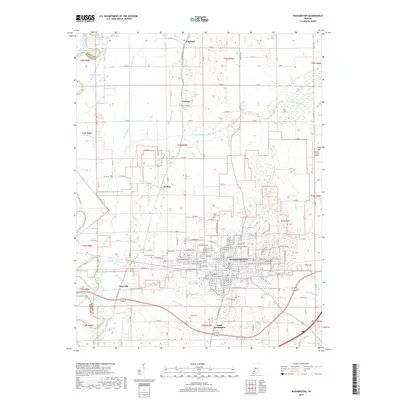
2019 Map of Washington
USGS Topo · Published 2019About this map
Washington serves as the central hub for this corner of Daviess County, where the city grid is flanked by the smaller settlements of Maysville to the southwest and South Washington to the south. The landscape is a complex network of agricultural drainage and natural waterways, defined by the White River winding along the western border and an extensive system of man-made improvements like the Killian Canal, Hawes Ditch, and Colbert Ditch. These features illustrate the historical effort to manage the local watershed for farming. Genealogists will find several significant burial sites documented across the quadrangle, including Saint John Cem near the city center and the more rural Oak Grove Cem and Hawkins Cem to the west. To the north, the small communities of Jordan, Graham, and Capehart are dispersed among a landscape dotted with distinctive water bodies such as Swan Pond, Snyder Pond, and the Blue Hole Pond near the riverbanks.
Find a feature on this map
107 named features on this map. Tap any name to fly to it.
Don’t see what you’re looking for? This feature index may not catch every label — zoom into the map to look around manually.
Map Details
Editions of this 2019 Washington Map
This is the sole edition of this map. No revisions or reprints were ever made.
Other maps of this area

1943 · Bicknell
USGS Topo · 1:24,000

1943 · Plainville
USGS Topo · 1:24,000

1943 · Epsom
USGS Topo · 1:24,000

1944 · Montgomery
USGS Topo · 1:24,000

1944 · Glendale
USGS Topo · 1:24,000

1944 · Washington
USGS Topo · 1:24,000

1944 · Monroe City
USGS Topo · 1:24,000

1944 · Wheatland
USGS Topo · 1:24,000

1945 · Sandy Hook
USGS Topo · 1:24,000

1956 · Vincennes
USGS Topo · 1:250,000