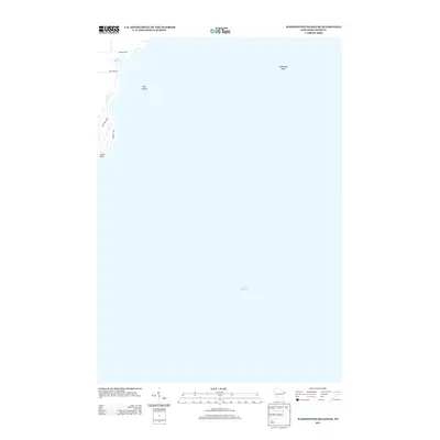
2013 Map of Washington Island SE
USGS Topo · Published 2013About this map
Hog Island and the surrounding waters of Lake Michigan dominate this coastal survey of the southeastern portion of Washington Island. The shoreline at South Point provides a look at the residential road network that serves this part of the island, including Shellswick Rd and Hemlock Dr. Further north, the landscape shifts into the wetland environment of Big Marsh, located near the junction of Michigan Rd and Lake View Rd. Offshore, the mapping details the submerged hazards of the Great Lakes, most notably the isolated Fisherman Shoal located miles from the mainland coast. This survey captures the island's character as it transitioned from its long-standing maritime roots into a contemporary community defined by its remote geography and preservation of natural features.
Find a feature on this map
9 named features on this map. Tap any name to fly to it.
Don’t see what you’re looking for? This feature index may not catch every label — zoom into the map to look around manually.
Map Details
Editions of this 2013 Washington Island SE Map
This is the sole edition of this map. No revisions or reprints were ever made.
Other maps of this area

1954 · Escanaba
USGS Topo · 1:250,000

1957 · Escanaba
USGS Topo · 1:250,000

1958 · Escanaba
USGS Topo · 1:250,000

1960 · Washington Island
USGS Topo · 1:62,500

1982 · Washington Island SE
USGS Topo · 1:24,000

1982 · Washington Island NW
USGS Topo · 1:24,000

1982 · Washington Island NE
USGS Topo · 1:24,000
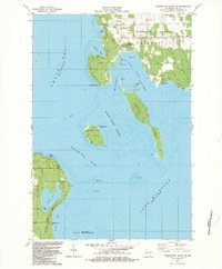
1982 · Washington Island SW
USGS Topo · 1:24,000
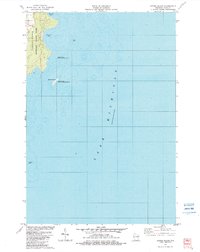
1982 · Spider Island
USGS Topo · 1:24,000

1984 · Washington Island
USGS Topo · 1:100,000