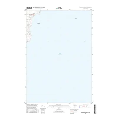
2016 Map of Washington Island SE
USGS Topo · Published 2016About this map
Washington Island anchors the northwestern corner of this maritime study, revealing the rugged eastern coastline of the island as it meets the vast expanse of Lake Michigan. The map details the low-lying wetlands of Big Marsh and Little Marsh, which transition into a network of local roads such as Michigan Rd and Old Mill Rd that serve the island's sparse residential and agricultural corridors. Off the coast, the isolated Hog Island and the submerged hazard of Fisherman Shoal define the navigational challenges near the Whitefish Channel. This 2016 survey emphasizes the island's natural conservation areas and coastal landforms, from the northern marshes down to the sharp tip of South Point, providing a clear record of the modern shoreline and the established rural road system used by local families and seasonal visitors.
Find a feature on this map
15 named features on this map. Tap any name to fly to it.
Don’t see what you’re looking for? This feature index may not catch every label — zoom into the map to look around manually.
Map Details
Editions of this 2016 Washington Island SE Map
This is the sole edition of this map. No revisions or reprints were ever made.
Other maps of this area

1954 · Escanaba
USGS Topo · 1:250,000

1957 · Escanaba
USGS Topo · 1:250,000

1958 · Escanaba
USGS Topo · 1:250,000

1960 · Washington Island
USGS Topo · 1:62,500

1982 · Washington Island SE
USGS Topo · 1:24,000

1982 · Washington Island NW
USGS Topo · 1:24,000

1982 · Washington Island NE
USGS Topo · 1:24,000
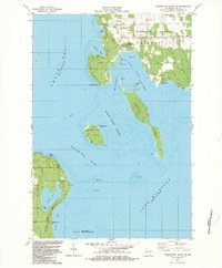
1982 · Washington Island SW
USGS Topo · 1:24,000
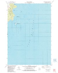
1982 · Spider Island
USGS Topo · 1:24,000

1984 · Washington Island
USGS Topo · 1:100,000