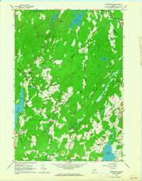
1961 Map of Washington
USGS Topo · Published 1964About this map
The Medomak River and St George River headwaters define the drainage of this mid-coast Maine interior during the early 1960s. Small, dispersed settlements like Burkettville, Appleton, and Washington are interconnected by a web of narrow roads such as Appleton Ridge Road and Prescott Hill Road. The landscape is a mix of agricultural clearings and woodlots, punctuated by numerous family and community burial grounds including Skidmore Cem, Hannon Cem, and Maple Grove Cem.
Find a feature on this map
71 named features on this map. Tap any name to fly to it.
Don’t see what you’re looking for? This feature index may not catch every label — zoom into the map to look around manually.
Map Details
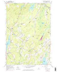
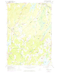
Editions of this 1961 Washington Map
3 editions found
Other maps of this area

1904 · Rockland
USGS Topo · 1:62,500

1906 · Rockland
USGS Topo · 1:62,500

1913 · Waldoboro
USGS Topo · 1:48,000

1915 · Waldoboro
USGS Topo · 1:62,500

1915 · Belfast
USGS Topo · 1:62,500

1916 · Liberty
USGS Topo · 1:62,500

1917 · Belfast
USGS Topo · 1:62,500

1941 · Belfast
USGS Topo · 1:62,500

1941 · Rockland
USGS Topo · 1:62,500

1941 · Waldoboro
USGS Topo · 1:62,500