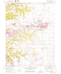
1970 Map of Washington
USGS Topo · Published 1979About this map
The growing urban corridors of Washington and Morton define this Central Illinois landscape during the late 1960s and early 1970s. The map illustrates a transitional period of suburban development, where new residential pockets like Harvard Hills and Beverly Manor appear alongside established rural landmarks. Transportation infrastructure is a dominant theme, with the Gulf Mobile and Ohio and Atchison Topeka and Santa Fe railroads cutting across the terrain, serving the industrial needs of the region near East Peoria.
Find a feature on this map
65 named features on this map. Tap any name to fly to it.
Don’t see what you’re looking for? This feature index may not catch every label — zoom into the map to look around manually.
Map Details
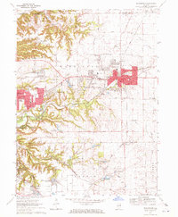
Editions of this 1970 Washington Map
2 editions found
Other maps of this area

1893 · Metamora
USGS Topo · 1:62,500

1893 · Dunlap
USGS Topo · 1:62,500

1898 · Dunlap
USGS Topo · 1:62,500

1905 · Peoria
USGS Topo · 1:62,500

1927 · Peoria
USGS Topo · 1:62,500

1928 · Mackinaw
USGS Topo · 1:62,500

1932 · Mackinaw
USGS Topo · 1:62,500

1932 · Dunlap
USGS Topo · 1:62,500

1933 · Dunlap
USGS Topo · 1:62,500

1937 · Metamora
USGS Topo · 1:62,500