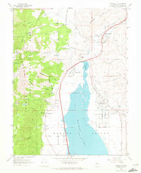
1968 Map of Washoe City
USGS Topo · Published 1972About this map
Washoe Valley serves as the central corridor of this 1968 survey, dominated by the expansive Washoe Lake and its smaller counterpart, Little Washoe Lake. The landscape reflects a transition from the mountainous heights of the Toiyabe National Forest and Slide Mtn down to the valley floor. Evidence of the region's industrial past is preserved through markers like the Ophir Mill Hist Marker and scattered operations such as the Union Mine and Galena Hill Mine.
Find a feature on this map
56 named features on this map. Tap any name to fly to it.
Don’t see what you’re looking for? This feature index may not catch every label — zoom into the map to look around manually.
Map Details
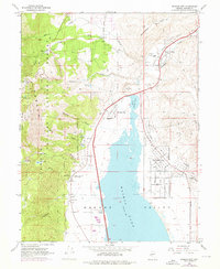
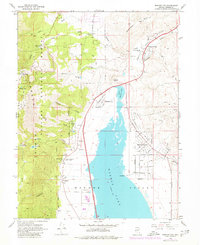
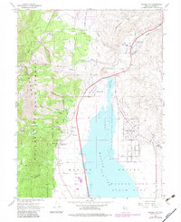
Editions of this 1968 Washoe City Map
4 editions found
Other maps of this area

1891 · Carson
USGS Topo · 1:125,000

1893 · Carson
USGS Topo · 1:125,000

1950 · Virginia City
USGS Topo · 1:62,500

1950 · Mt. Rose
USGS Topo · 1:62,500

1952 · Mt. Rose
USGS Topo · 1:62,500

1952 · Virginia City
USGS Topo · 1:62,500

1955 · Marlette Lake
USGS Topo · 1:24,000

1956 · Dayton
USGS Topo · 1:62,500

1956 · Carson City
USGS Topo · 1:62,500

1957 · Reno
USGS Topo · 1:250,000