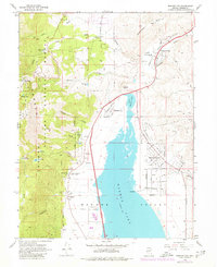
1968 Map of Washoe City
USGS Topo · Published 1979About this map
Washoe Lake dominates this Nevada landscape, where the high peaks of the Carson Range descend into the fertile Washoe Valley. This survey, compiled from 1966 and 1968 observations with purple-ink updates from 1974, documents the expansion of New Washoe City across the eastern valley floor. This planned residential growth stands in contrast to the remnants of the Comstock era, such as the Ophir Mill Hist Marker and the historic estate at Bowers Mansion County Park.
Find a feature on this map
66 named features on this map. Tap any name to fly to it.
Don’t see what you’re looking for? This feature index may not catch every label — zoom into the map to look around manually.
Map Details
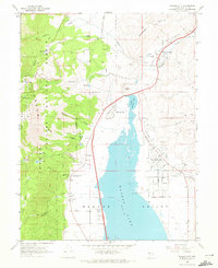
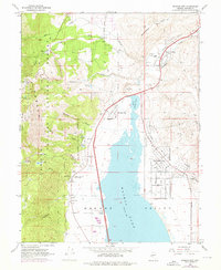
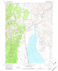
Editions of this 1968 Washoe City Map
4 editions found
Other maps of this area

1891 · Carson
USGS Topo · 1:125,000

1893 · Carson
USGS Topo · 1:125,000

1950 · Virginia City
USGS Topo · 1:62,500

1950 · Mt. Rose
USGS Topo · 1:62,500

1952 · Mt. Rose
USGS Topo · 1:62,500

1952 · Virginia City
USGS Topo · 1:62,500

1955 · Marlette Lake
USGS Topo · 1:24,000

1956 · Dayton
USGS Topo · 1:62,500

1956 · Carson City
USGS Topo · 1:62,500

1957 · Reno
USGS Topo · 1:250,000