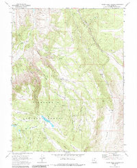
1968 Map of Water Creek Canyon
USGS Topo · Published 1984About this map
Fish Lake National Forest dominates this high-altitude landscape in Sevier County, where a complex network of canyons and ridges defined local land use in the late 1960s. The area's water management is visible through a series of mountain reservoirs and springs, including Annabella Reservoir, Big Lake, and Davis Hollow Reservoir. These features, along with numerous named springs like Christensen Spring and Bramhall Springs, highlight the critical importance of water resources for the surrounding high-country livestock and forest operations.
Find a feature on this map
43 named features on this map. Tap any name to fly to it.
Don’t see what you’re looking for? This feature index may not catch every label — zoom into the map to look around manually.
Map Details
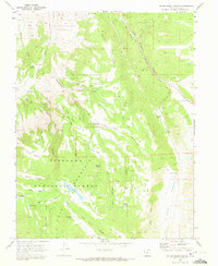
Editions of this 1968 Water Creek Canyon Map
2 editions found
Other maps of this area

1885 · Beaver
USGS Topo · 1:250,000

1885 · Fish Lake
USGS Topo · 1:250,000

1896 · Fish Lake
USGS Topo · 1:250,000

1940 · Monroe
USGS Topo · 1:62,500

1944 · Monroe
USGS Topo · 1:62,500

1953 · Richfield
USGS Topo · 1:250,000

1956 · Salina
USGS Topo · 1:250,000

1958 · Richfield
USGS Topo · 1:250,000

1960 · Salina
USGS Topo · 1:250,000

1961 · Richfield
USGS Topo · 1:62,500