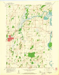
1959 Map of Waterloo
USGS Topo · Published 1960About this map
The Crawfish River dominates this landscape on the border of Dodge and Jefferson Counties, winding through a complex network of wetlands and glacial deposits in the late 1950s. The village of Waterloo serves as the primary hub, where St John Sch and Firemen Park anchor the community near the junction of Waterloo Creek and Stony Brook. The regional transportation network is defined by the Milwaukee St Paul and Pacific railroad, which passes through the small settlement of Hubbleton as it crosses the river. Numerous Gravel Pits and Quarries dot the terrain, particularly near the glacial features surrounding Chub Lake and Mud Lake. Genealogists will find a high density of rural burial sites, including Washington Cem, Moravian Cem, and the appropriately named Island Cem, which sits elevated above the surrounding marshlands.
Find a feature on this map
32 named features on this map. Tap any name to fly to it.
Don’t see what you’re looking for? This feature index may not catch every label — zoom into the map to look around manually.
Map Details
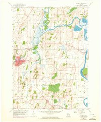
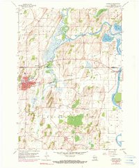
Editions of this 1959 Waterloo Map
3 editions found
Other maps of this area

1890 · Sun Prairie
USGS Topo · 1:62,500

1891 · Waterloo
USGS Topo · 1:62,500

1894 · Waterloo
USGS Topo · 1:62,500

1896 · Sun Prairie
USGS Topo · 1:62,500

1905 · Sun Prairie
USGS Topo · 1:62,500

1907 · Sun Prairie
USGS Topo · 1:62,500

1910 · Waterloo
USGS Topo · 1:62,500

1955 · Columbus
USGS Topo · 1:62,500

1955 · Beaver Dam
USGS Topo · 1:62,500

1957 · Madison
USGS Topo · 1:250,000