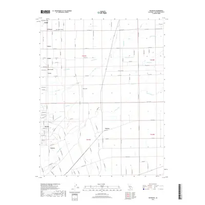
2018 Map of Waterloo
USGS Topo · Published 2018About this map
The Calaveras River and Mokelumne Aqueduct define the hydrological character of this portion of the San Joaquin Valley, where water management and agriculture shape the landscape. Small residential and agricultural clusters such as Waterloo, Kettleman, and Foppiano are connected by a precise grid of roads including E Eight Mile Rd and Comstock Rd. This network reflects the transition from open fields to structured agricultural development within the Sacramento Valley fringe.
Find a feature on this map
104 named features on this map. Tap any name to fly to it.
Don’t see what you’re looking for? This feature index may not catch every label — zoom into the map to look around manually.
Map Details
Editions of this 2018 Waterloo Map
This is the sole edition of this map. No revisions or reprints were ever made.
Other maps of this area

1894 · Lodi
USGS Topo · 1:125,000

1908 · Waterloo
USGS Topo · 1:31,680

1908 · Linden
USGS Topo · 1:31,680

1908 · Lockeford
USGS Topo · 1:31,680

1909 · Clements
USGS Topo · 1:31,680

1910 · Castle
USGS Topo · 1:31,680

1910 · Woodbridge
USGS Topo · 1:31,680

1913 · Stockton
USGS Topo · 1:31,680

1914 · Burnham
USGS Topo · 1:31,680

1915 · Peters
USGS Topo · 1:31,680