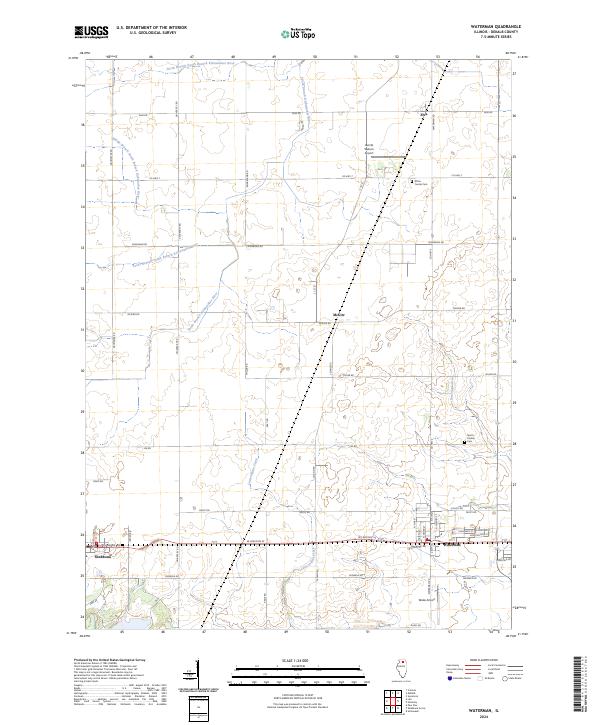
2024 Map of Waterman
USGS Topo · Published 2024About this map
Waterman and the western edge of Shabbona anchor this portrait of DeKalb County's agricultural interior. The landscape is defined by the complex hydrology of the Kishwaukee basin, where the North Branch, Middle Branch, and South Branch of the South Branch Kishwaukee River converge. This intricate network of prairie waterways is complemented by southern-flowing streams like Somonauk Creek and Little Indian Creek, illustrating the continental divide’s local influence on drainage patterns.
Find a feature on this map
49 named features on this map. Tap any name to fly to it.
Don’t see what you’re looking for? This feature index may not catch every label — zoom into the map to look around manually.
Map Details
Editions of this 2024 Waterman Map
This is the sole edition of this map. No revisions or reprints were ever made.
Other maps of this area

1934 · De Kalb
USGS Topo · 1:62,500

1937 · De Kalb
USGS Topo · 1:62,500

1937 · Sycamore
USGS Topo · 1:62,500

1948 · Sandwich
USGS Topo · 1:62,500

1950 · Sandwich
USGS Topo · 1:62,500

1951 · Earlville
USGS Topo · 1:62,500

1958 · Aurora
USGS Topo · 1:250,000

1961 · Aurora
USGS Topo · 1:250,000
1968 · Sycamore
USGS Topo · 1:24,000
1968 · Hinckley
USGS Topo · 1:24,000