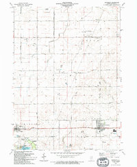
1994 Map of Waterman
USGS Topo · Published 1994About this map
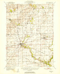
Waterman and Shabbona anchor this portrait of southern DeKalb County, where the agricultural landscape is defined by the headwaters of the Kishwaukee River system and Somonauk Creek. The map reveals a highly developed rural infrastructure of family-named roads like Mc Girr Road and Duffy Road, alongside small aviation facilities such as the Diedrich Landing Strip and Watson Landing Strip. This period shows the establishment of the Shabbona Lake State Recreational Area, a significant artificial water body that transformed the local drainage of Indian Creek.
Find a feature on this map
39 named features on this map. Tap any name to fly to it.
Don’t see what you’re looking for? This feature index may not catch every label — zoom into the map to look around manually.
Map Details
Editions of this 1994 Waterman Map
This is the sole edition of this map. No revisions or reprints were ever made.
Other maps of this area
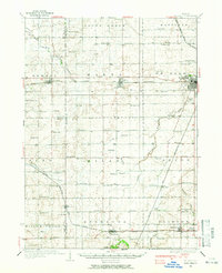
1934 · De Kalb
USGS Topo · 1:62,500
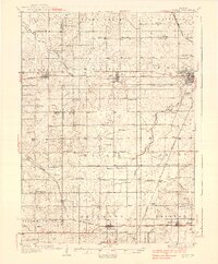
1937 · De Kalb
USGS Topo · 1:62,500
1937 · Sycamore
USGS Topo · 1:62,500

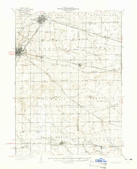
1948 · Sandwich
USGS Topo · 1:62,500

1950 · Sandwich
USGS Topo · 1:62,500
1951 · Earlville
USGS Topo · 1:62,500

1958 · Aurora
USGS Topo · 1:250,000

1961 · Aurora
USGS Topo · 1:250,000
1968 · Sycamore
USGS Topo · 1:24,000
1968 · Hinckley
USGS Topo · 1:24,000
Featured Places
- Waterman, Clinton Township
- Shabbona, Shabbona Township
- Clinton Township, IL
- Afton Center, Afton Township
- McGirr, Afton Township