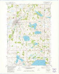
1981 Map of Watertown
USGS Topo · Published 1982About this map
South Fork Crow River winds through the heart of this landscape, anchoring the settlement of Watertown near the borders of Carver and Wright counties. The early 1980s environment shows a distinct transition from traditional agriculture to managed conservation, evidenced by the Waconia State Wildlife Management Area on the northern shore of Lake Waconia. The presence of the Luce Line Trail and the Burlington Northern railroad lines highlight the importance of these transit corridors in shaping local growth. Genealogists will find significant detail in the numerous rural burial grounds, including Trinity Cem, Swede Lake Cem, and Oakland Cem, which serve as markers for the early families of Franklin and Independence townships. From the clustered residential streets of St. Bonifacius to the scattered Gravel Pits, the map documents a community deeply connected to its glacial lakes and river valley.
Find a feature on this map
38 named features on this map. Tap any name to fly to it.
Don’t see what you’re looking for? This feature index may not catch every label — zoom into the map to look around manually.
Map Details
Editions of this 1981 Watertown Map
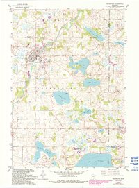
2 editions found
Other maps of this area

1905 · Minnetonka
USGS Topo · 1:62,500

1907 · Minnetonka
USGS Topo · 1:62,500

1909 · Rockford
USGS Topo · 1:62,500

1953 · Saint Paul
USGS Topo · 1:250,000

1953 · Stillwater
USGS Topo · 1:250,000

1955 · Stillwater
USGS Topo · 1:250,000

1957 · Waconia
USGS Topo · 1:62,500

1958 · Stillwater
USGS Topo · 1:250,000

1958 · Victoria
USGS Topo · 1:24,000

1958 · Rockford
USGS Topo · 1:62,500