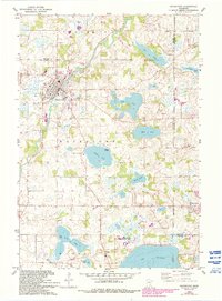
1981 Map of Watertown
USGS Topo · Published 1993About this map
The South Fork Crow River winds through the heart of the town of Watertown, where the local landscape is defined by the dense clustering of glacial lakes and wetlands typical of Carver and Hennepin counties. This 1980s-era topographic study shows the region's transition, capturing the Luce Line recreational corridor following an old rail path and the expanding residential footprints in St Bonifacius and Mayer. Genealogists will find several burial grounds mapped in detail, including Trinity Cem and Swede Lake Cem, providing a window into the area's rural heritage. The southern edge of the map is dominated by the northern reaches of Waconia Lake and the Waconia State Wildlife Management Area, illustrating the balance between agricultural land, managed natural spaces, and growing lakeside communities.
Find a feature on this map
37 named features on this map. Tap any name to fly to it.
Don’t see what you’re looking for? This feature index may not catch every label — zoom into the map to look around manually.
Map Details
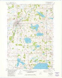
Editions of this 1981 Watertown Map
2 editions found
Other maps of this area

1905 · Minnetonka
USGS Topo · 1:62,500

1907 · Minnetonka
USGS Topo · 1:62,500

1909 · Rockford
USGS Topo · 1:62,500

1953 · Saint Paul
USGS Topo · 1:250,000

1953 · Stillwater
USGS Topo · 1:250,000

1955 · Stillwater
USGS Topo · 1:250,000

1957 · Waconia
USGS Topo · 1:62,500

1958 · Stillwater
USGS Topo · 1:250,000

1958 · Victoria
USGS Topo · 1:24,000

1958 · Rockford
USGS Topo · 1:62,500