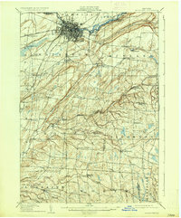
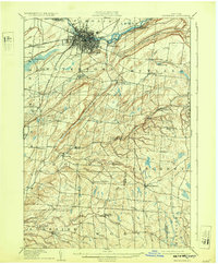
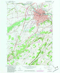
1909 Map of Watertown
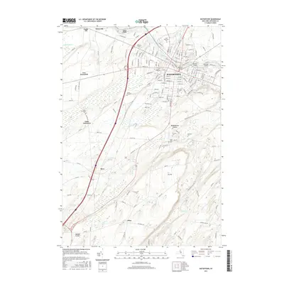
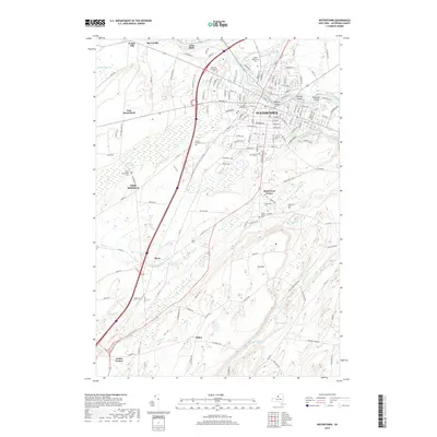
USGS Topo · Published 1935About this map
Watertown serves as the industrial and transit hub of this Jefferson County landscape, where the Black River powers local development and carved features like Huntington Island. The rail network is well-established, featuring the Rome Watertown and Ogdensburg R R and branches like the N Y C and H R R R connecting to the coast. Beyond the city center, the terrain is defined by dramatic limestone and shale incisions such as Big Gulf and Bear Gulf.
Find a feature on this map
72 named features on this map. Tap any name to fly to it.
Don’t see what you’re looking for? This feature index may not catch every label — zoom into the map to look around manually.
Map Details
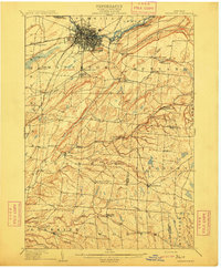
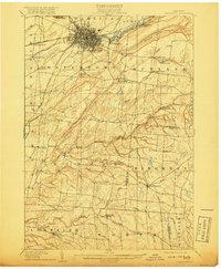
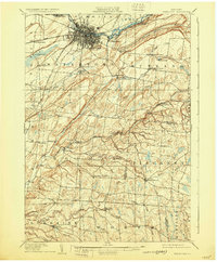
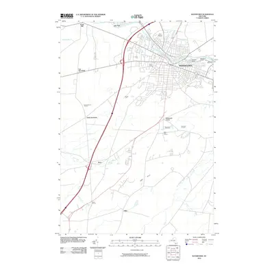
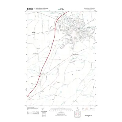
Editions of this 1909 Watertown Map
6 editions found
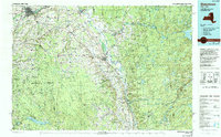
Historical Maps of Le Ray Through Time
12 maps found

1895 Watertown
Jefferson County, NY
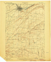
1898 Watertown
Jefferson County, NY

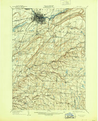
1908 Watertown
Jefferson County, NY
1909 Watertown
Jefferson County, NY
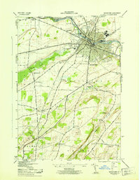
1943 Watertown
Jefferson County, NY
1959 Watertown
Jefferson County, NY
1985 Watertown
Jefferson County, NY
2010 Watertown
Jefferson County, NY
2013 Watertown
Jefferson County, NY
2016 Watertown
Jefferson County, NY
2019 Watertown
Jefferson County, NY

2023 Watertown
Jefferson County, NY