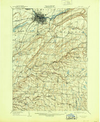
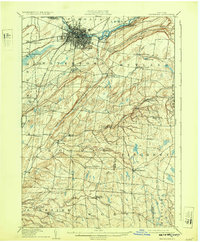
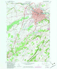
1909 Map of Watertown
USGS Topo · Published 1944About this map
The Black River anchors the industrial and civic heart of Watertown, where multiple rail lines of the N Y C and H R R R (Sackets Harbor Line) and the R W and O Division converge. This early 20th-century landscape is defined by the transition from the dense urban grid of the city to the fragmented agricultural uplands of Rutland and Rodman. The map documents a time when mail and local commerce relied on specific neighborhood post offices, such as Whitesville East Rodman PO and Klondike Worth PO.
Find a feature on this map
68 named features on this map. Tap any name to fly to it.
Don’t see what you’re looking for? This feature index may not catch every label — zoom into the map to look around manually.
Map Details
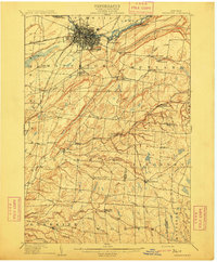
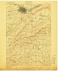
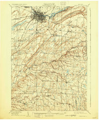
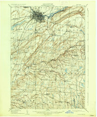
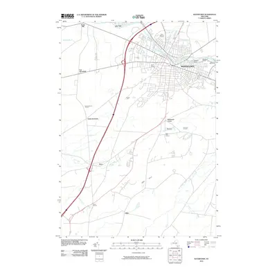
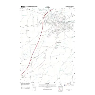
Editions of this 1909 Watertown Map
6 editions found
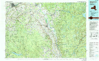
Historical Maps of Le Ray Through Time
12 maps found

1895 Watertown
Jefferson County, NY
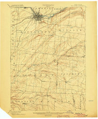
1898 Watertown
Jefferson County, NY

1908 Watertown
Jefferson County, NY
1909 Watertown
Jefferson County, NY
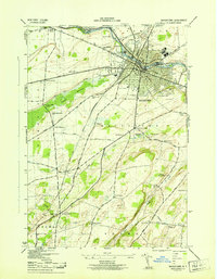
1943 Watertown
Jefferson County, NY
1959 Watertown
Jefferson County, NY
1985 Watertown
Jefferson County, NY
2010 Watertown
Jefferson County, NY
2013 Watertown
Jefferson County, NY
2016 Watertown
Jefferson County, NY
2019 Watertown
Jefferson County, NY

2023 Watertown
Jefferson County, NY