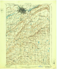
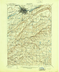
1909 Map of Watertown
USGS Topo · Published 1932About this map
The industrial and transport hub of Watertown anchors this early 20th-century landscape, where the Black River powers local development near Delano Island and Huntington Island. The rail network is particularly dense, featuring the R W and O Division and the Carthage and Sackets Harbor Line radiating from the urban center. Beyond the city, the topography transitions into the deep incisions of Big Gulf and Inman Gulf, with rural life organized around family-named corners and crossroads. Genealogists will find numerous small hamlets and post offices such as Tylerville South Rutland PO and Klondike Worth PO, alongside established landmarks like Brookside Cemetery and the Middle Road Church. The map effectively captures the transition from a river-powered manufacturing city to the outlying agricultural townships of Rodman and Rutland.
Find a feature on this map
67 named features on this map. Tap any name to fly to it.
Don’t see what you’re looking for? This feature index may not catch every label — zoom into the map to look around manually.
Map Details
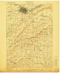
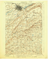
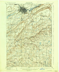
Editions of this 1909 Watertown Map
6 editions found

Other maps of this area

1893 · Sackets Harbor
USGS Topo · 1:62,500

1895 · Sacketts Harbor
USGS Topo · 1:62,500

1895 · Pulaski
USGS Topo · 1:62,500

1895 · Watertown
USGS Topo · 1:62,500

1898 · Watertown
USGS Topo · 1:62,500

1900 · Clayton
USGS Topo · 1:62,500

1902 · Carthage
USGS Topo · 1:62,500

1903 · Clayton
USGS Topo · 1:62,500

1903 · Theresa
USGS Topo · 1:62,500

1903 · Orwell
USGS Topo · 1:62,500