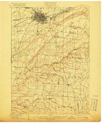
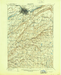
1909 Map of Watertown
USGS Topo · Published 1918About this map
Watertown serves as the industrial and transit hub of Jefferson County in this early twentieth-century survey, with the Black River powering local growth. The city's northern reaches at Huntingtonville and Glen Park highlight the importance of river access, while the New York Central and Hudson River RR and its R W and O Division show the established rail network connecting these upland communities.
Find a feature on this map
71 named features on this map. Tap any name to fly to it.
Don’t see what you’re looking for? This feature index may not catch every label — zoom into the map to look around manually.
Map Details
Editions of this 1909 Watertown Map
6 editions found

Other maps of this area

1893 · Sackets Harbor
USGS Topo · 1:62,500

1895 · Sacketts Harbor
USGS Topo · 1:62,500

1895 · Pulaski
USGS Topo · 1:62,500

1895 · Watertown
USGS Topo · 1:62,500

1898 · Watertown
USGS Topo · 1:62,500

1900 · Clayton
USGS Topo · 1:62,500

1902 · Carthage
USGS Topo · 1:62,500

1903 · Clayton
USGS Topo · 1:62,500

1903 · Theresa
USGS Topo · 1:62,500

1903 · Orwell
USGS Topo · 1:62,500