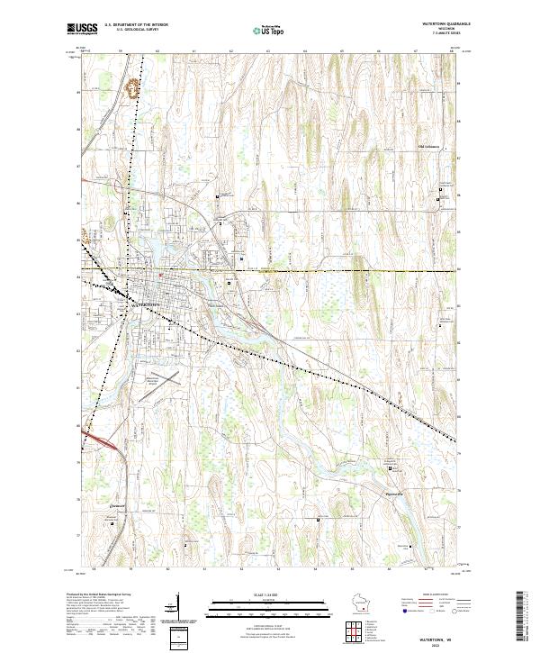
1894 Map of Watertown
USGS Topo · Published 1902About this map
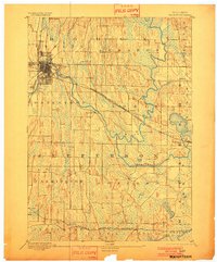
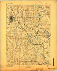
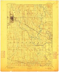
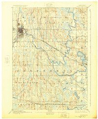
The Watertown city grid and rail network dominate this late 19th-century landscape, positioned at a critical bend in the Rock River. Surveyed in 1889 by Van. H. Manning Jr. for the U.S. Geological Survey, the terrain reveals the complex glacial topography of eastern Jefferson and Dodge counties. Two major rail lines, the Chicago and Northwestern R. R. and the Chicago Milwaukee and St Paul Railroad, intersect at the city, driving the development of outlying settlements like Ixonia and Pipersville. To the east, the landscape transitions into the lake country of Oconomowoc, where Lac La Belle is surrounded by early development. The map meticulously documents rural crossroads like Concord and Sullivan, showing how the early dairy and agricultural economy was shaped by the winding courses of the Oconomowoc River and Ashippun River.
Find a feature on this map
29 named features on this map. Tap any name to fly to it.
Don’t see what you’re looking for? This feature index may not catch every label — zoom into the map to look around manually.
Map Details
Editions of this 1894 Watertown Map
5 editions found
Historical Maps of Watertown Through Time
9 maps found

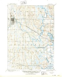
1892 Watertown
Jefferson County, WI
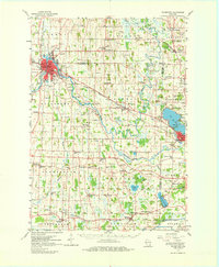
1894 Watertown
Jefferson County, WI
1959 Watertown
Jefferson County, WI
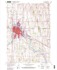
1959 Watertown
Jefferson County, WI

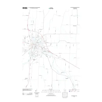
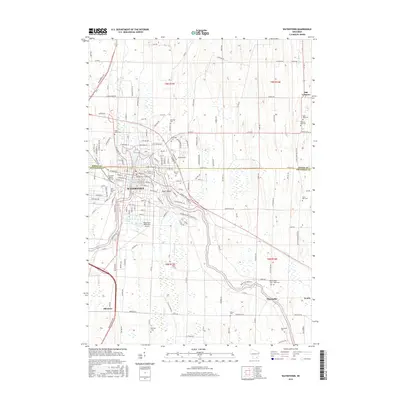
2010 Watertown
Jefferson County, WI
2013 Watertown
Jefferson County, WI
2015 Watertown
Jefferson County, WI
2018 Watertown
Jefferson County, WI
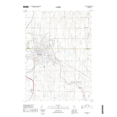
2022 Watertown
Jefferson County, WI