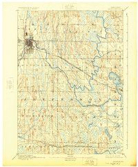
1894 Map of Watertown
USGS Topo · Published 1925About this map
The Rock River winds through this late nineteenth-century landscape, anchoring the settlement of Watertown, which serves as a major rail junction for the Chicago and Northwestern R. R. and the Chicago Milwaukee and St Paul Railroad. The topography is defined by distinctive glacial drumlins, which run in parallel north-south ridges across townships like Farmington and Concord. These formations dictate the path of smaller waterways such as Johnson Creek and the Oconomowoc River, while creating a natural environment for several significant water bodies in the east, including Lac La Belle and Silver Lake. Rural life at this time centered around small hamlets like Ixonia, Pipersville, and Sullivan, which were connected by a burgeoning rail network that facilitated the movement of goods and people across the Jefferson and Dodge county lines.
Find a feature on this map
30 named features on this map. Tap any name to fly to it.
Don’t see what you’re looking for? This feature index may not catch every label — zoom into the map to look around manually.
Map Details
Editions of this 1894 Watertown Map
5 editions found
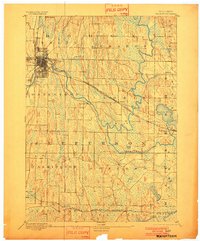
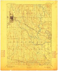
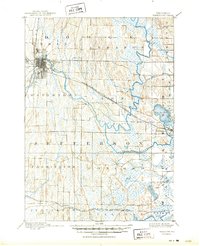
Other maps of this area

1891 · Waterloo
USGS Topo · 1:62,500

1891 · Koshkonong
USGS Topo · 1:62,500

1892 · Watertown
USGS Topo · 1:62,500

1892 · Oconomowoc
USGS Topo · 1:62,500

1892 · Whitewater
USGS Topo · 1:62,500

1892 · Eagle
USGS Topo · 1:62,500

1893 · Whitewater
USGS Topo · 1:62,500

1894 · Waterloo
USGS Topo · 1:62,500

1894 · Watertown
USGS Topo · 1:62,500

1894 · Eagle
USGS Topo · 1:62,500