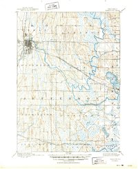
1894 Map of Watertown
USGS Topo · Published 1950About this map
The Watertown city grid and its industrial riverside corridor define this late 19th-century landscape, where the Rock River winds through Jefferson and Dodge counties. Geographer Jno. H. Renshawe and topographer Van H. Manning Jr. captured a region dominated by its complex water systems and burgeoning rail network. To the east, the Oconomowoc River feeds into Lac La Belle near the settlement of Oconomowoc, while the southern reaches are marked by the wetlands of the Bark River near Sullivan.
Find a feature on this map
31 named features on this map. Tap any name to fly to it.
Don’t see what you’re looking for? This feature index may not catch every label — zoom into the map to look around manually.
Map Details
Editions of this 1894 Watertown Map
5 editions found
Other maps of this area

1891 · Waterloo
USGS Topo · 1:62,500

1891 · Koshkonong
USGS Topo · 1:62,500

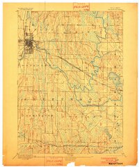
1892 · Watertown
USGS Topo · 1:62,500

1892 · Oconomowoc
USGS Topo · 1:62,500

1892 · Whitewater
USGS Topo · 1:62,500

1892 · Eagle
USGS Topo · 1:62,500

1893 · Whitewater
USGS Topo · 1:62,500

1894 · Waterloo
USGS Topo · 1:62,500

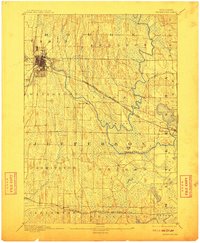
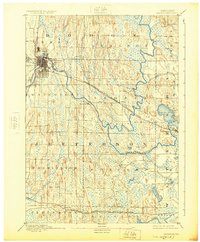
1894 · Watertown
USGS Topo · 1:62,500

1894 · Eagle
USGS Topo · 1:62,500