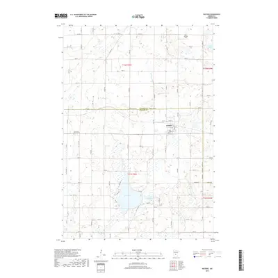
2019 Map of Watkins
USGS Topo · Published 2019About this map
Watkins serves as the central hub of this agricultural region on the border of Stearns and Meeker Counties. The settlement's layout is closely tied to its local institutions and public spaces, featuring the Saint Anthony Cem near the town center. To the west, the Pioneer and Veterans Cem reflects the long-standing community roots in the area. The surrounding landscape is defined by its glacial hydrology, with Clear Lake and Little Mud Lake situated south of the main township. Transportation across the plains is supported by a network of county routes including Co Hwy 21 and Co Hwy 2, which connect the town to the broader rural economy. Further north, Don's Landing Field indicates the importance of private aviation for local land management, while the Clearwater River and Island Lake drain the northern reaches of the quadrangle.
Find a feature on this map
70 named features on this map. Tap any name to fly to it.
Don’t see what you’re looking for? This feature index may not catch every label — zoom into the map to look around manually.
Map Details
Editions of this 2019 Watkins Map
This is the sole edition of this map. No revisions or reprints were ever made.
Other maps of this area

1953 · Saint Cloud
USGS Topo · 1:250,000

1957 · Saint Cloud
USGS Topo · 1:250,000

1958 · Saint Cloud
USGS Topo · 1:250,000

1958 · Dassel
USGS Topo · 1:62,500

1967 · Cold Spring
USGS Topo · 1:24,000

1967 · Litchfield North
USGS Topo · 1:24,000

1967 · Richmond
USGS Topo · 1:24,000

1967 · Watkins
USGS Topo · 1:24,000

1967 · Rockville
USGS Topo · 1:24,000

1967 · Kimball
USGS Topo · 1:24,000
Featured Places
- Watkins, MN
- Luxemburg Township, MN
- Maine Prairie Township, MN
- Watkins Mobile Home Park, Watkins
- Watkins Mobile Home Park, Watkins