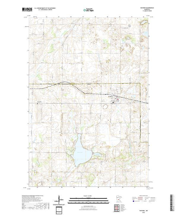
2022 Map of Watkins
USGS Topo · Published 2022About this map
Watkins sits at the intersection of agricultural and wetland landscapes along the border of Stearns and Meeker counties. The town's layout is centered around local commerce and faith, anchored by the Saint Anthony Cem and several community streets. To the west, the Pioneer and Veterans Cem provides a genealogical link to the area's early inhabitants. The surrounding terrain is defined by its glacial hydrology, featuring significant water bodies such as Clear Lake and Little Mud Lake, which drain into the Clearwater River. This water network supported the region's development, providing drainage for the fertile farmland that dominates the landscape. Small private aviation interests are represented by Don's Landing Field in the north, while the presence of Island Lake suggests the varying elevations and depressions typical of this central Minnesota region.
Find a feature on this map
67 named features on this map. Tap any name to fly to it.
Don’t see what you’re looking for? This feature index may not catch every label — zoom into the map to look around manually.
Map Details
Editions of this 2022 Watkins Map
This is the sole edition of this map. No revisions or reprints were ever made.
Other maps of this area

1953 · Saint Cloud
USGS Topo · 1:250,000

1957 · Saint Cloud
USGS Topo · 1:250,000

1958 · Saint Cloud
USGS Topo · 1:250,000

1958 · Dassel
USGS Topo · 1:62,500

1967 · Cold Spring
USGS Topo · 1:24,000

1967 · Litchfield North
USGS Topo · 1:24,000

1967 · Richmond
USGS Topo · 1:24,000

1967 · Watkins
USGS Topo · 1:24,000

1967 · Rockville
USGS Topo · 1:24,000

1967 · Kimball
USGS Topo · 1:24,000
Featured Places
- Watkins, MN
- Maine Prairie Township, MN
- Watkins Mobile Home Park, Watkins
- Luxemburg Township, MN
- Watkins Mobile Home Park, Watkins