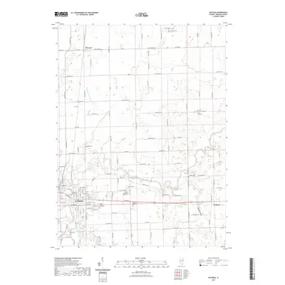
2021 Map of Watseka
USGS Topo · Published 2021About this map
The Iroquois River carves a winding path through the center of this Iroquois County landscape, defining the northern boundary of Watseka. As the county seat, the city is anchored by the Iroquois County Courthouse and a dense network of residential streets such as E Ash St and W Walnut St. The surrounding countryside is characterized by an extensive drainage system, including Middleport Ditch Number 1 and Pike Cr, which supports the agricultural productive capacity of the region.
Find a feature on this map
112 named features on this map. Tap any name to fly to it.
Don’t see what you’re looking for? This feature index may not catch every label — zoom into the map to look around manually.
Map Details
Editions of this 2021 Watseka Map
This is the sole edition of this map. No revisions or reprints were ever made.
Other maps of this area

1935 · Watseka
USGS Topo · 1:48,000

1938 · Milford
USGS Topo · 1:48,000

1939 · Watseka
USGS Topo · 1:62,500

1939 · Cissna Park
USGS Topo · 1:62,500

1944 · Milford
USGS Topo · 1:62,500

1944 · Gilman
USGS Topo · 1:62,500

1946 · Gilman
USGS Topo · 1:62,500

1949 · Cissna Park
USGS Topo · 1:62,500

1953 · Danville
USGS Topo · 1:250,000

1955 · Danville
USGS Topo · 1:250,000