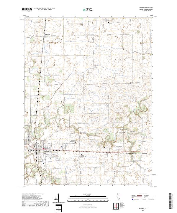
2024 Map of Watseka
USGS Topo · Published 2024About this map
The city of Watseka serves as the focal point of this Illinois landscape, situated at the confluence of the Iroquois River and Sugar Creek. As the seat of local government, the town is dominated by the Iroquois County Courthouse and a grid of residential streets including E Walnut St. The surrounding countryside is defined by a dense network of township roads and agricultural drainage features like Middleport Ditch Number 1 and Pike Creek.
Find a feature on this map
108 named features on this map. Tap any name to fly to it.
Don’t see what you’re looking for? This feature index may not catch every label — zoom into the map to look around manually.
Map Details
Editions of this 2024 Watseka Map
This is the sole edition of this map. No revisions or reprints were ever made.
Other maps of this area

1935 · Watseka
USGS Topo · 1:48,000

1938 · Milford
USGS Topo · 1:48,000

1939 · Watseka
USGS Topo · 1:62,500

1939 · Cissna Park
USGS Topo · 1:62,500

1944 · Milford
USGS Topo · 1:62,500

1944 · Gilman
USGS Topo · 1:62,500

1946 · Gilman
USGS Topo · 1:62,500

1949 · Cissna Park
USGS Topo · 1:62,500

1953 · Danville
USGS Topo · 1:250,000

1955 · Danville
USGS Topo · 1:250,000