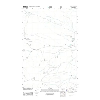
2011 Map of Watson
USGS Topo · Published 2011About this map
Watson and Preston anchor this ranching and mining landscape in Meagher County, where the Smith River valley meets a complex network of drainages. The area’s history is etched into the terrain through names like Freighters Gulch and Lambing Camp Gulch, suggesting the early transportation and sheep-raising routes that once crossed these hills. Evidence of mineral exploration appears at the Vermont Creek Mine and Thomas Creek Mine, both located near the winding course of Vermont Creek and Thomas Creek. Water management for local agricultural use is prominent throughout the quadrangle, notably at Stoyanoff Lake and its corresponding Stoyanoff Dam, as well as the Robin Hood Number 1 Dam and Robin Hood Number 2 Dam. The southern portion of the map is defined by the convergence of Keep Cool Creek and the North Fork Elk Creek.
Find a feature on this map
38 named features on this map. Tap any name to fly to it.
Don’t see what you’re looking for? This feature index may not catch every label — zoom into the map to look around manually.
Map Details
Editions of this 2011 Watson Map
This is the sole edition of this map. No revisions or reprints were ever made.
Other maps of this area

1886 · Fort Logan
USGS Topo · 1:250,000

1948 · White Sulphur Springs
USGS Topo · 1:250,000

1958 · White Sulphur Springs
USGS Topo · 1:250,000

1961 · White Sulphur Springs
USGS Topo · 1:250,000

1965 · White Sulphur Springs
USGS Topo · 1:250,000

1966 · Boulder Baldy
USGS Topo · 1:24,000

1966 · Diamond City
USGS Topo · 1:24,000

1966 · Lingshire
USGS Topo · 1:24,000

1966 · Whites City
USGS Topo · 1:24,000

1966 · Watson
USGS Topo · 1:24,000