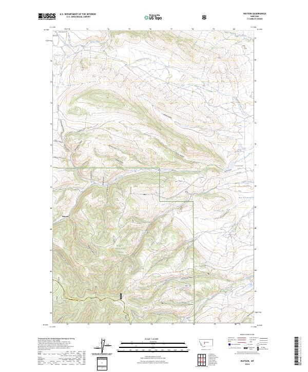
2024 Map of Watson
USGS Topo · Published 2024About this map
Watson sits at the heart of this Montana landscape, where the southern reaches of the Helena National Forest meet the administrative border of Meagher and Broadwater counties. The terrain is defined by an intricate network of drainage features, including namesake hollows and gulches such as Kettle Hollow, Freighters Gulch, and Lambing Camp Gulch, which suggest a history of early livestock ranching and transit through these high-altitude corridors. Water management is a central theme of the topography, seen in the presence of Keep Cool Reservoir and Stoyanoff Lake, along with the perennial flows of Beaver Creek and Cottonwood Creek. The path of Hwy 360 cuts through the eastern half of the quadrangle, providing a modern connection across a landscape still marked by traditional land-use names like Scarecrow Gulch and Batchelor Gulch.
Find a feature on this map
41 named features on this map. Tap any name to fly to it.
Don’t see what you’re looking for? This feature index may not catch every label — zoom into the map to look around manually.
Map Details
Editions of this 2024 Watson Map
This is the sole edition of this map. No revisions or reprints were ever made.
Other maps of this area

1886 · Fort Logan
USGS Topo · 1:250,000

1948 · White Sulphur Springs
USGS Topo · 1:250,000

1958 · White Sulphur Springs
USGS Topo · 1:250,000

1961 · White Sulphur Springs
USGS Topo · 1:250,000

1965 · White Sulphur Springs
USGS Topo · 1:250,000

1966 · Boulder Baldy
USGS Topo · 1:24,000

1966 · Diamond City
USGS Topo · 1:24,000

1966 · Lingshire
USGS Topo · 1:24,000

1966 · Whites City
USGS Topo · 1:24,000

1966 · Watson
USGS Topo · 1:24,000