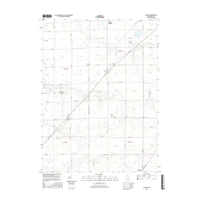
2016 Map of Watson
USGS Topo · Published 2016About this map
Green Springs and Republic anchor this portion of the Ohio landscape, characterized by a structured grid of township roads and agricultural sections. The area is defined by its numerous small burial grounds, such as Bunker Hill Cem and Saint Jacobs Cem, which serve as vital landmarks for genealogical research. The terrain is drained by several waterways, including Green Cr and Sugar Cr, while the Beaver Cr Upground Reservoir stands as a significant modern hydrological feature in the northeast. Small settlements like Watson and Lowell appear as localized hubs along the primary thoroughfares. The map detail reflects the long-standing agrarian layout of the region, from the family-named roads to the small-scale aviation facility at Welker Airport, illustrating how local transport and community infrastructure have evolved within the traditional Public Land Survey System boundaries.
Find a feature on this map
92 named features on this map. Tap any name to fly to it.
Don’t see what you’re looking for? This feature index may not catch every label — zoom into the map to look around manually.
Map Details
Editions of this 2016 Watson Map
This is the sole edition of this map. No revisions or reprints were ever made.
Other maps of this area

1901 · Bellevue
USGS Topo · 1:62,500

1901 · Fremont
USGS Topo · 1:62,500

1903 · Bellevue
USGS Topo · 1:62,500

1903 · Fremont
USGS Topo · 1:62,500

1906 · Tiffin
USGS Topo · 1:62,500

1915 · Siam
USGS Topo · 1:62,500

1956 · Toledo
USGS Topo · 1:250,000

1958 · Fremont West
USGS Topo · 1:24,000
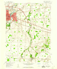
1958 · Fremont East
USGS Topo · 1:24,000
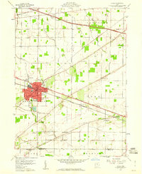
1959 · Clyde
USGS Topo · 1:24,000