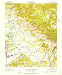
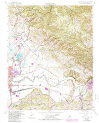
1955 Map of Watsonville East
USGS Topo · Published 1956About this map
P A J A R O V A L L E Y serves as the focal point for this mid-century topographic record, where the Pajaro River snakes through fertile bottomlands toward the sea. The industrial and transit landscape is dominated by the Southern Pacific railroad infrastructure, most notably at Watsonville Junction, a critical node for California's coastal agriculture. The map captures the complex interaction between valley floor cultivation and the rising S A N T A C R U Z M O U N T A I N S, where ridges like Casserly Ridge and deep canyons such as Fern Canyon hem in the developed basin.
Find a feature on this map
76 named features on this map. Tap any name to fly to it.
Don’t see what you’re looking for? This feature index may not catch every label — zoom into the map to look around manually.
Map Details
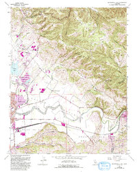
Editions of this 1955 Watsonville East Map
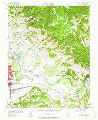
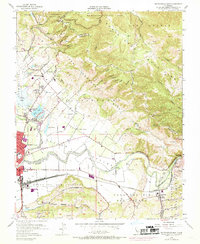
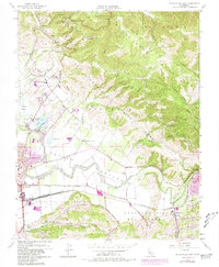
6 editions found
Other maps of this area

1912 · Capitola
USGS Topo · 1:62,500

1914 · Capitola
USGS Topo · 1:62,500

1915 · San Juan Bautista
USGS Topo · 1:48,000

1916 · New Almaden
USGS Topo · 1:48,000

1917 · Morgan Hill
USGS Topo · 1:62,500

1917 · San Juan Bautista
USGS Topo · 1:62,500

1919 · New Almaden
USGS Topo · 1:62,500

1939 · Morgan Hill
USGS Topo · 1:62,500

1939 · San Juan Bautista
USGS Topo · 1:62,500

1940 · San Juan Bautista
USGS Topo · 1:62,500