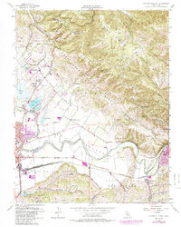
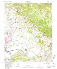
1955 Map of Watsonville East
USGS Topo · Published 1986About this map
The San Andreas Rift Zone carves a distinct geological path through the Santa Cruz Mountains, dominating the northern half of this mid-century survey. Below the steep ridges of Mt Madonna County Park and Canyon Ridge, the landscape transitions into the productive Pajaro Valley. This agricultural heartland is defined by the winding Pajaro River, which serves as a natural boundary between Santa Cruz and Monterey counties. The transit infrastructure of the era is clearly visible, with the Southern Pacific railroad lines converging at Watsonville Junction near the town of Pajaro. Notable local landmarks include several lakes such as College Lake and Kelly Lake, which sit adjacent to early educational institutions like St Francis School and Salsipuedes Sch. Smaller communities like Aromas and Johnston Corner are documented alongside the vital mountain passage at Hecker Pass.
Find a feature on this map
51 named features on this map. Tap any name to fly to it.
Don’t see what you’re looking for? This feature index may not catch every label — zoom into the map to look around manually.
Map Details
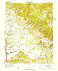
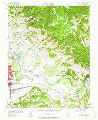
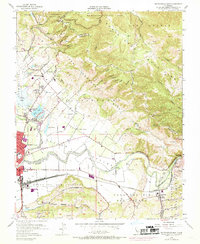
Editions of this 1955 Watsonville East Map
6 editions found
Other maps of this area

1912 · Capitola
USGS Topo · 1:62,500

1914 · Capitola
USGS Topo · 1:62,500

1915 · San Juan Bautista
USGS Topo · 1:48,000

1916 · New Almaden
USGS Topo · 1:48,000

1917 · Morgan Hill
USGS Topo · 1:62,500

1917 · San Juan Bautista
USGS Topo · 1:62,500

1919 · New Almaden
USGS Topo · 1:62,500

1939 · Morgan Hill
USGS Topo · 1:62,500

1939 · San Juan Bautista
USGS Topo · 1:62,500

1940 · San Juan Bautista
USGS Topo · 1:62,500