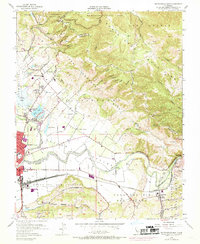
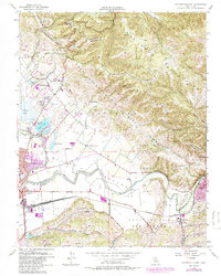
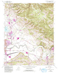
1955 Map of Watsonville East
USGS Topo · Published 1969About this map
Watsonville and the fertile lowlands of the Pajaro River valley serve as the focal point for this mid-century geographical study. The landscape is defined by the sharp transition between the alluvial plains of the Bolsa del Pajaro and the complex geological formations of the Santa Cruz Mountains to the east. One of the map's most significant features is the San Andreas Rift Zone, which cuts diagonally across the terrain, influencing the drainage patterns of Gaffey Creek and Casserly Rd.
Find a feature on this map
55 named features on this map. Tap any name to fly to it.
Don’t see what you’re looking for? This feature index may not catch every label — zoom into the map to look around manually.
Map Details
Editions of this 1955 Watsonville East Map
6 editions found
Other maps of this area

1912 · Capitola
USGS Topo · 1:62,500

1914 · Capitola
USGS Topo · 1:62,500

1915 · San Juan Bautista
USGS Topo · 1:48,000

1916 · New Almaden
USGS Topo · 1:48,000

1917 · Morgan Hill
USGS Topo · 1:62,500

1917 · San Juan Bautista
USGS Topo · 1:62,500

1919 · New Almaden
USGS Topo · 1:62,500

1939 · Morgan Hill
USGS Topo · 1:62,500

1939 · San Juan Bautista
USGS Topo · 1:62,500

1940 · San Juan Bautista
USGS Topo · 1:62,500