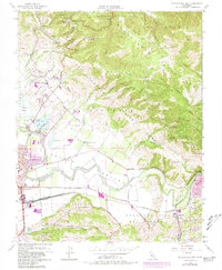
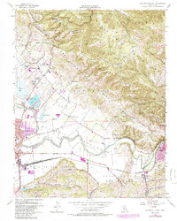
1955 Map of Watsonville East
USGS Topo · Published 1981About this map
The San Andreas Rift Zone defines the structural orientation of this landscape, cutting a northwest-southeast path through the Santa Cruz Mountains. This geological feature influences the drainage of the area, where Salsipuedes Creek and Corralitos Creek flow toward the productive Pajaro Valley. Agricultural land patterns are deeply established here, reflected in the large land grants like Bolsa del Pajaro and Vega del Pajaro.
Find a feature on this map
69 named features on this map. Tap any name to fly to it.
Don’t see what you’re looking for? This feature index may not catch every label — zoom into the map to look around manually.
Map Details
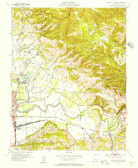
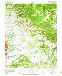
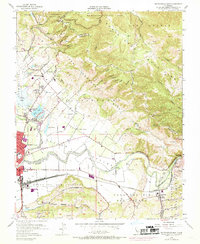
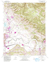
Editions of this 1955 Watsonville East Map
6 editions found
Other maps of this area

1912 · Capitola
USGS Topo · 1:62,500

1914 · Capitola
USGS Topo · 1:62,500

1915 · San Juan Bautista
USGS Topo · 1:48,000

1916 · New Almaden
USGS Topo · 1:48,000

1917 · Morgan Hill
USGS Topo · 1:62,500

1917 · San Juan Bautista
USGS Topo · 1:62,500

1919 · New Almaden
USGS Topo · 1:62,500

1939 · Morgan Hill
USGS Topo · 1:62,500

1939 · San Juan Bautista
USGS Topo · 1:62,500

1940 · San Juan Bautista
USGS Topo · 1:62,500