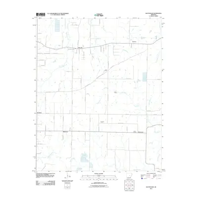
2011 Map of Wattensaw
USGS Topo · Published 2011About this map
Butlerville and the smaller settlements of Thurman, Woodlawn, Wattensaw, and Waterproof anchor this portion of Prairie County. The landscape is defined by the complex drainage of the Wattensaw Bayou system, with waterways like Pigeon Roost Creek, Duck Creek, and Collins Creek winding through the rural terrain. This 2011 survey reveals a high density of small family or community burial grounds, including Butlerville Cemetery, Salem Cemetery, Harper Cemetery, New Hope Cemetery, and Hebron Cemetery, which provide invaluable markers for genealogical research in this region of Arkansas. The road network, including Bethlehem Rd and Clay Hill Rd, connects these scattered settlements and points to the historical rural infrastructure of the area before modern consolidation.
Find a feature on this map
69 named features on this map. Tap any name to fly to it.
Don’t see what you’re looking for? This feature index may not catch every label — zoom into the map to look around manually.
Map Details
Editions of this 2011 Wattensaw Map
This is the sole edition of this map. No revisions or reprints were ever made.
Other maps of this area

1932 · Kensett
USGS Topo · 1:62,500

1935 · Kensett
USGS Topo · 1:62,500

1935 · Hazen
USGS Topo · 1:62,500

1940 · Lonoke
USGS Topo · 1:62,500

1941 · Hazen
USGS Topo · 1:62,500

1948 · Helena
USGS Topo · 1:250,000

1949 · Lonoke
USGS Topo · 1:62,500

1950 · Helena
USGS Topo · 1:250,000

1950 · Lonoke
USGS Topo · 1:62,500

1953 · Memphis
USGS Topo · 1:250,000