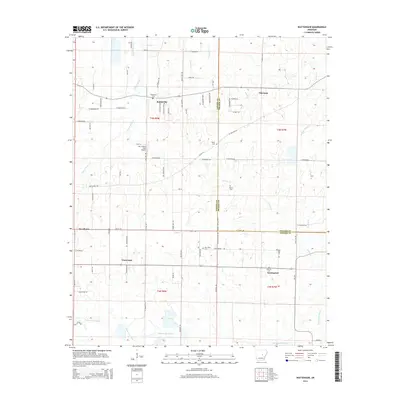
2014 Map of Wattensaw
USGS Topo · Published 2014About this map
Wattensaw Bayou meanders across the southern landscape of this central Arkansas region, defining a terrain of low-lying wetlands and creek systems at the boundary of Lonoke and Prairie counties. Small rural settlements like Butlerville, Wattensaw, and Thurman serve as anchors for a network of country roads, including Black Jack Road and Pigeon Road. The area is characterized by its numerous family and community burial grounds, such as Salem Cem, Hebron Cem, and New Hope Cem, which provide significant geographic markers for local genealogy. To the west, the Mc Croskey Field Airport stands out as a modern landmark amidst the agricultural and timber-focused land use. The drainage patterns of Pigeon Roost Cr and Collins Cr reveal the natural topography that has influenced local settlement patterns and the placement of communities like Waterproof and Woodlawn along the county line.
Find a feature on this map
85 named features on this map. Tap any name to fly to it.
Don’t see what you’re looking for? This feature index may not catch every label — zoom into the map to look around manually.
Map Details
Editions of this 2014 Wattensaw Map
This is the sole edition of this map. No revisions or reprints were ever made.
Other maps of this area

1932 · Kensett
USGS Topo · 1:62,500

1935 · Kensett
USGS Topo · 1:62,500

1935 · Hazen
USGS Topo · 1:62,500

1940 · Lonoke
USGS Topo · 1:62,500

1941 · Hazen
USGS Topo · 1:62,500

1948 · Helena
USGS Topo · 1:250,000

1949 · Lonoke
USGS Topo · 1:62,500

1950 · Helena
USGS Topo · 1:250,000

1950 · Lonoke
USGS Topo · 1:62,500

1953 · Memphis
USGS Topo · 1:250,000