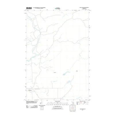
2011 Map of Waucedah
USGS Topo · Published 2011About this map
Waucedah and the surrounding township terrain are defined by a complex network of waterways, where the Sturgeon River winds through the western landscape and the Little Cedar River flows to the south. This 2011 survey illustrates the rural character of Dickinson County, highlighting small settlements and points of historical interest such as Leapers and the industrial-named Siding Number 4. Local history researchers will find the Waucedah Township Cemetery clearly marked just north of the primary settlement area. The region’s hydrology is exceptionally dense, featuring numerous tributaries including Cassidy Creek, Lost Creek, and Beaver Creek, along with Spruce Lake tucked away in the center of the sheet. The map provides a detailed view of the local road system as it integrated with the natural topography of the Upper Peninsula at the start of the 2010s.
Find a feature on this map
12 named features on this map. Tap any name to fly to it.
Don’t see what you’re looking for? This feature index may not catch every label — zoom into the map to look around manually.
Map Details
Editions of this 2011 Waucedah Map
This is the sole edition of this map. No revisions or reprints were ever made.
Other maps of this area

1939 · Pembine
USGS Topo · 1:48,000

1947 · Pembine
USGS Topo · 1:48,000

1954 · Escanaba
USGS Topo · 1:250,000

1955 · Vulcan
USGS Topo · 1:24,000

1955 · Norway
USGS Topo · 1:62,500

1956 · Foster City
USGS Topo · 1:62,500

1957 · Escanaba
USGS Topo · 1:250,000

1958 · Escanaba
USGS Topo · 1:250,000

1963 · Pembine
USGS Topo · 1:62,500

1963 · Powers
USGS Topo · 1:62,500